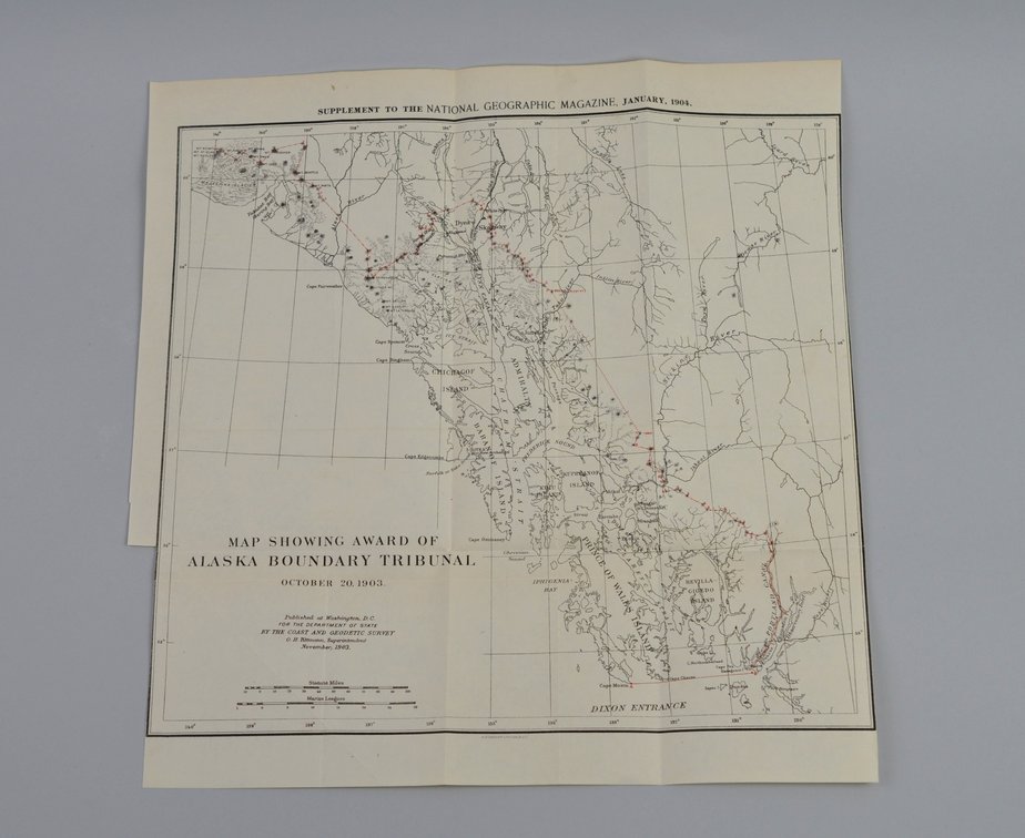
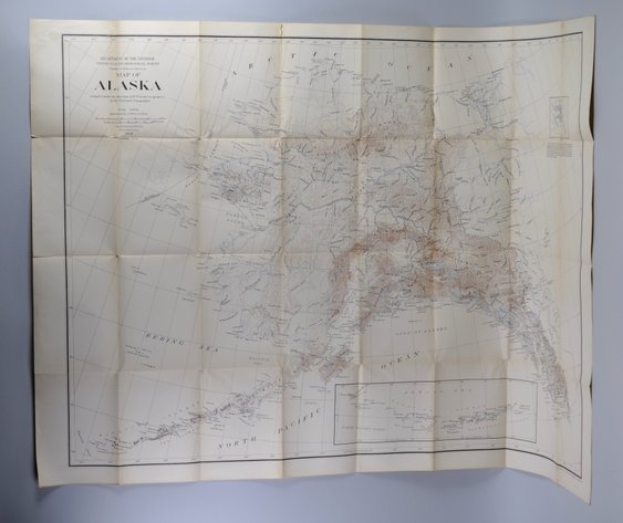
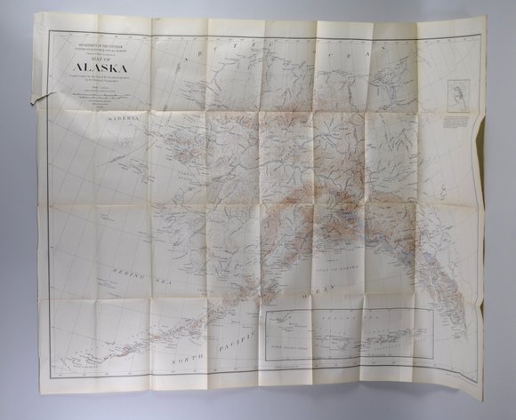
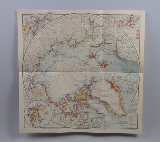
National Geographic Map of Alaska Boundary Tribunal 1904
Starting Bid
$14.00
20d 22h 15m 31s
Be the first to like this lot
Similar in Maps
Item Description
Month Issued: October
Year Issued: 1903
Dimensions: Approx. 13x13 1/2"
Condition: Creasing and Cuts Along Edges
Additional Information: Rare National Geographic map of the Alaska Boundary Tribunal, October 20, 1903, believed to be as stated on the map. This early 20th-century cartographic piece relates to the historic boundary determination between Alaska and Canada and reflects the period’s geographic and political interests in North American territorial boundaries. A desirable collectible for antique map enthusiasts, historical cartography collectors, and National Geographic Society memorabilia.
Lot Details
Lot Number1353
CategoryBooks Paper
Sub CategoryMaps
Starting Bid$14.00
Bid Count0
AuctionEstate Treasures 85: Jewelry, Silver, Antiques, Glass, Art & More
StatusPre-Bidding is Open
Last updated June 18, 2026 2:29 pm EDT