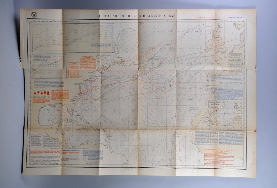
National Geographic Pilot Chart of the North Atlantic 1903
Similar in Maps
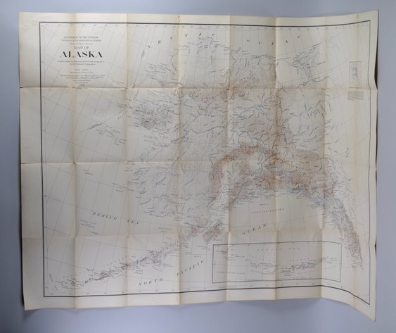
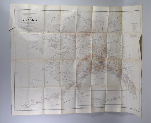
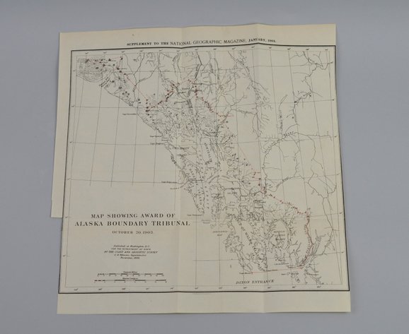
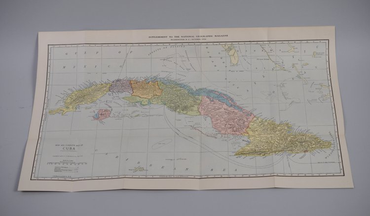
Item Description
Month Issued: February
Year Issued: 1903
Dimensions: Approx. 33 1/2x24"
Condition: Creasing, Discoloration, and Tears/Cuts Along Edges
Additional Information: Scarce National Geographic Pilot Chart of the North Atlantic, February 1903, believed to be as stated on the chart. This early 20th-century maritime chart reflects the period’s growing interest in ocean navigation, shipping routes, and geographic study of the Atlantic Ocean. Pilot charts were historically used to compile and present navigational information valuable to mariners, including prevailing ocean conditions and route planning data of the era. Issued during the formative years of National Geographic publications, this chart represents an interesting example of historical cartography and maritime reference material.