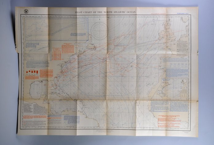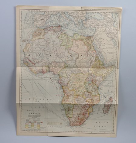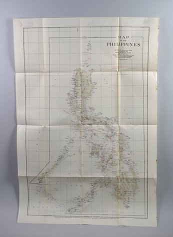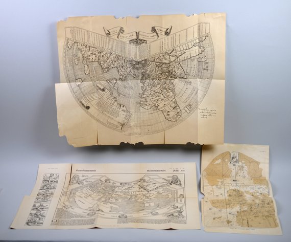



Lot 1357
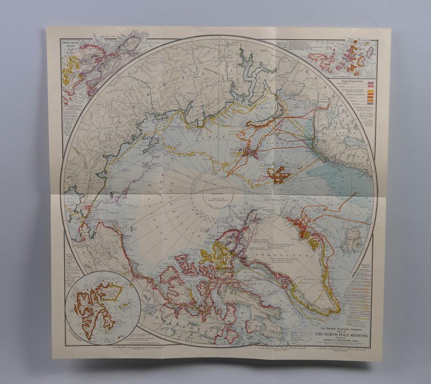
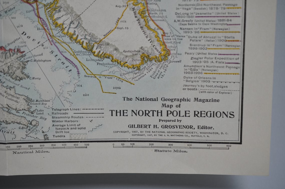
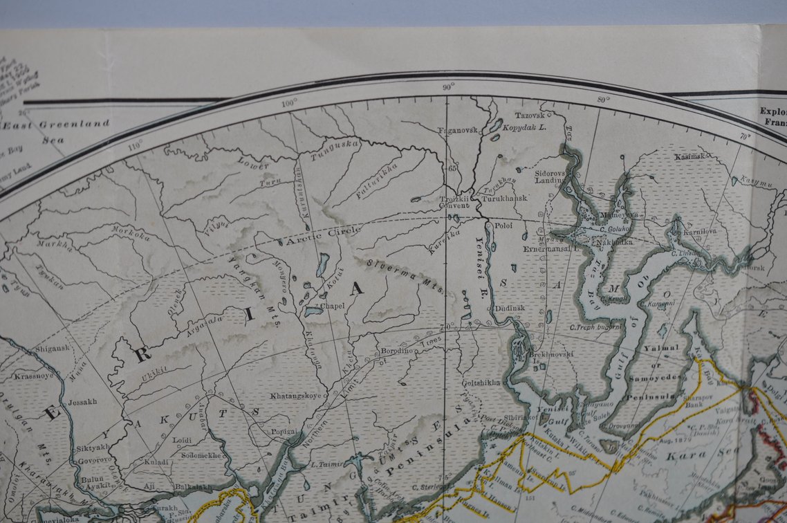
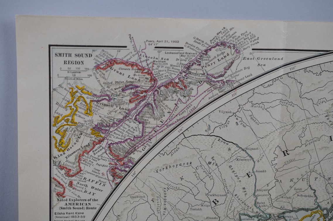
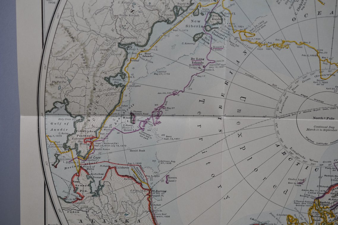
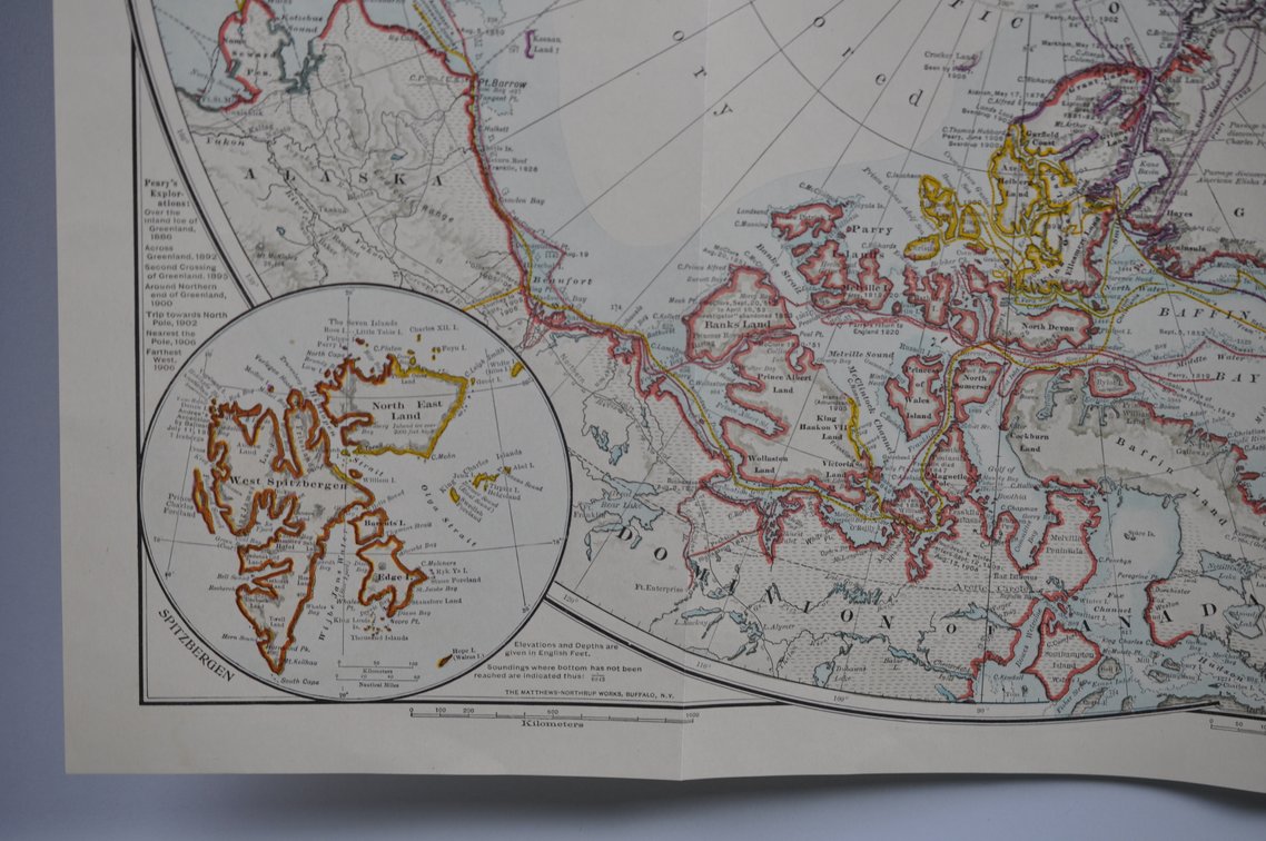
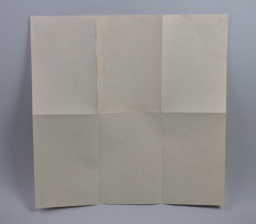
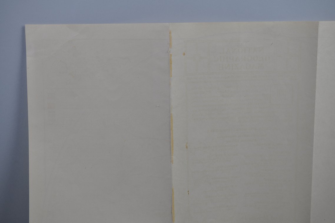
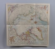
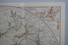
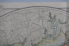
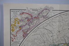
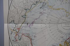
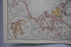
National Geographic Map of North Pole Regions 1907
Sold July 9, 2026
- Price realized
- $12
Price realized is the winning bid (hammer price) and excludes buyer’s premium.
About this lot
Month Issued: July
Year Issued: 1907
Dimensions: Approx. 19×19″
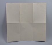
Condition: 1/8″ Rip to Centerfold Line
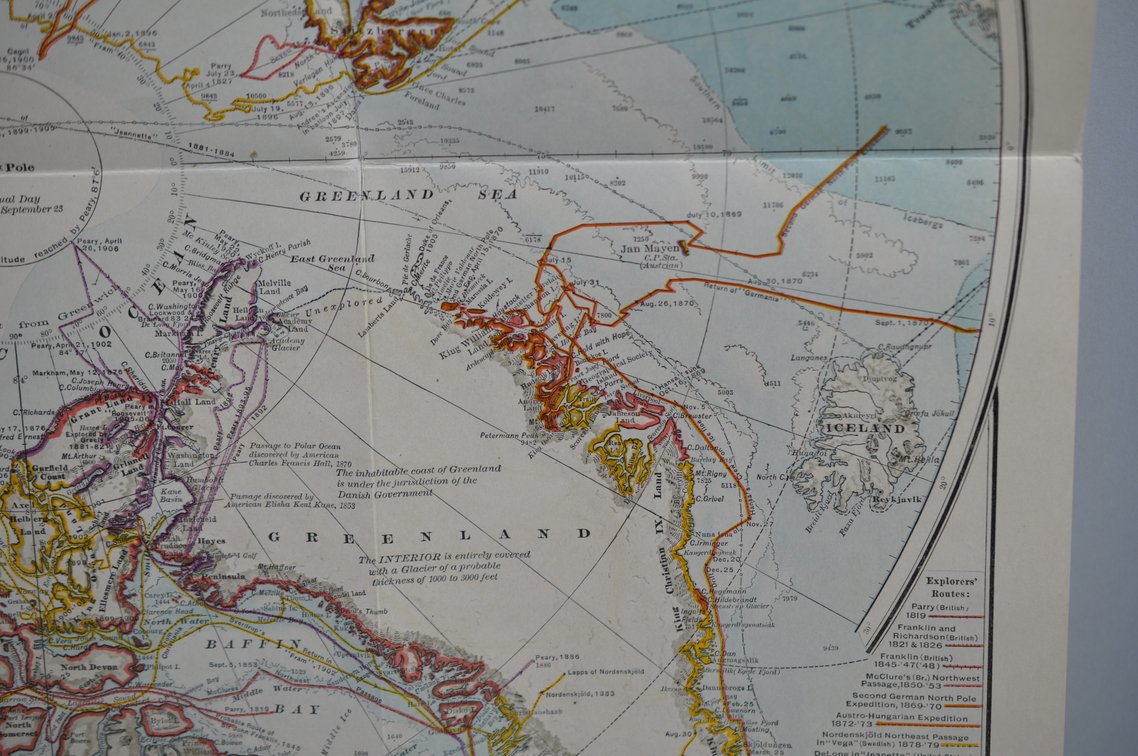
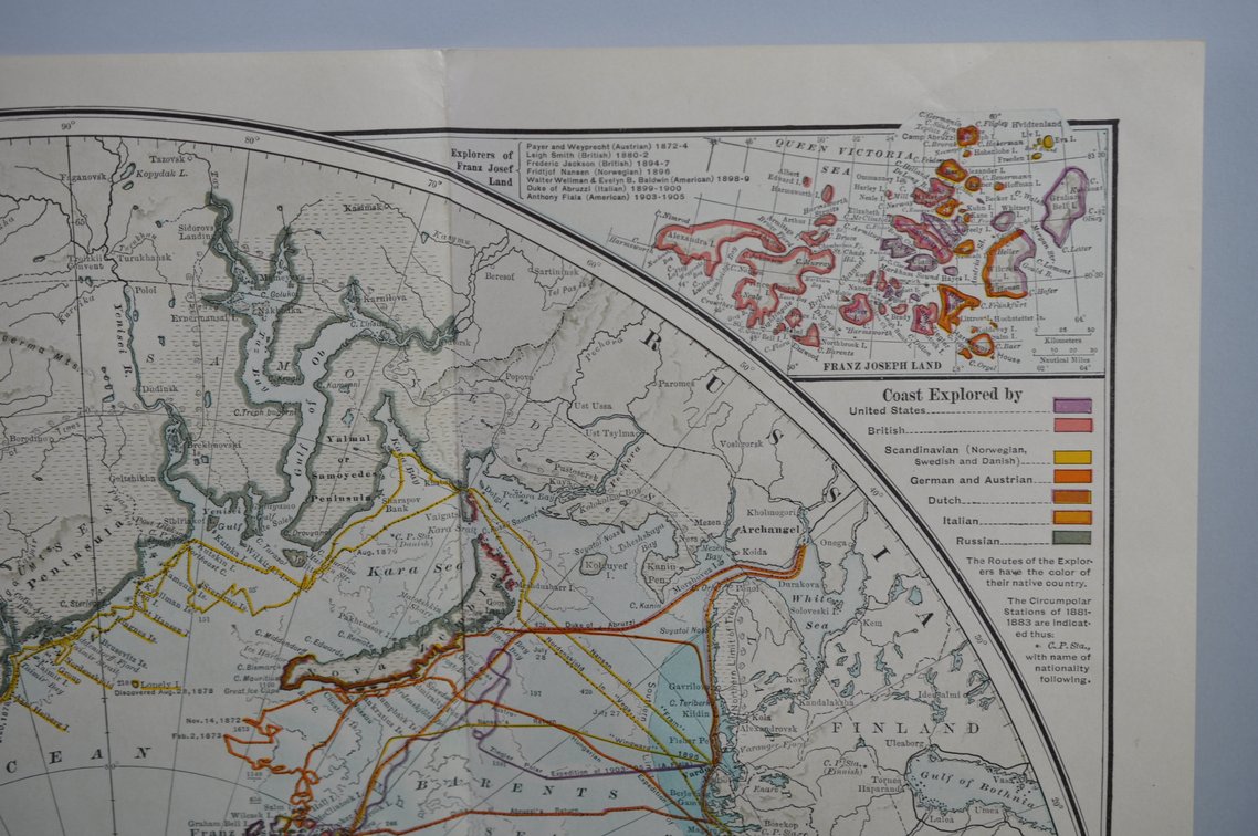
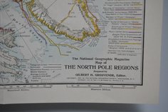
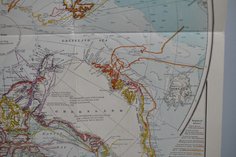
Additional Information: National Geographic Map of North Pole Regions is an early twentieth-century cartographic publication issued by the National Geographic Society during a period of heightened public and scientific interest in Arctic exploration. Dated and believed to be a July 1907, the map reflects the detailed cartographic standards and educational mission associated with early National Geographic publications, featuring period geographic rendering and carefully printed topographical and regional information related to the Arctic and surrounding northern territories. The lower left corner bears the notation “Copyright 1907 by the National Geographic Society,” identifying the map as an official Society publication from the era of early polar exploration and geographic study. As a historical cartographic piece, the map represents the Society’s role in documenting and disseminating geographic knowledge during the early twentieth century and remains significant to collectors of antique maps, exploration history, and National Geographic ephemera.
Lot details
- Lot
- 1357
- Category
- Books and Paper Items › Maps
- Closed
- July 9, 2026
Related lots
3 National Geographics Maps Dated 1893
Sold $225