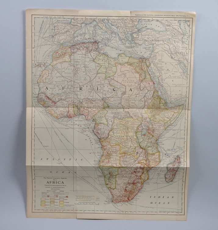
National Geographic Map of Africa 1909
Similar in Maps
Item Description
Month Issued: March
Year Issued: 1909
Dimensions: Approx. 16 1/4x21"
Condition: Creasing and Tears Along Edges
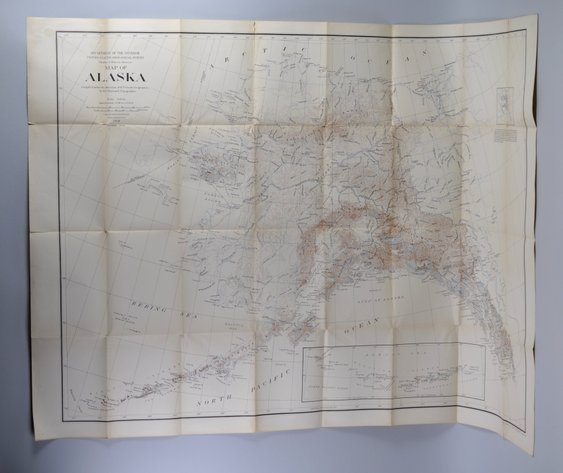
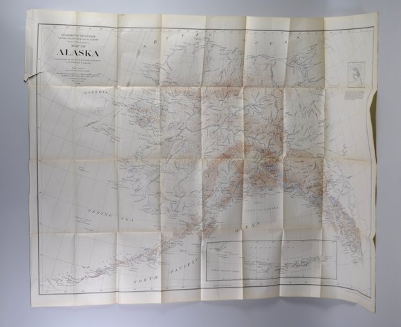
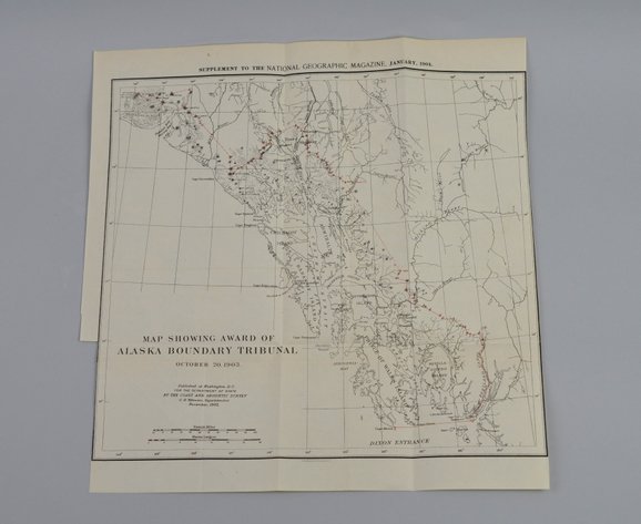
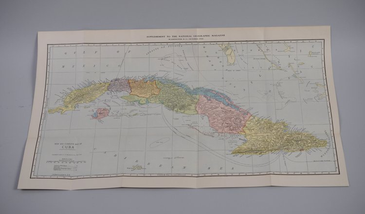
Additional Information: Scarce National Geographic Map of Africa, March 1909, believed to be as stated on the map. This early 20th-century cartographic piece reflects the geographic knowledge and mapmaking style of the period during an era of increased exploration, documentation, and international interest across the African continent. Issued during the formative years of National Geographic publications, this map represents an appealing example of historical cartography and early geographic reference material. A desirable collectible for antique map enthusiasts, historical cartography collectors, and National Geographic Society memorabilia.