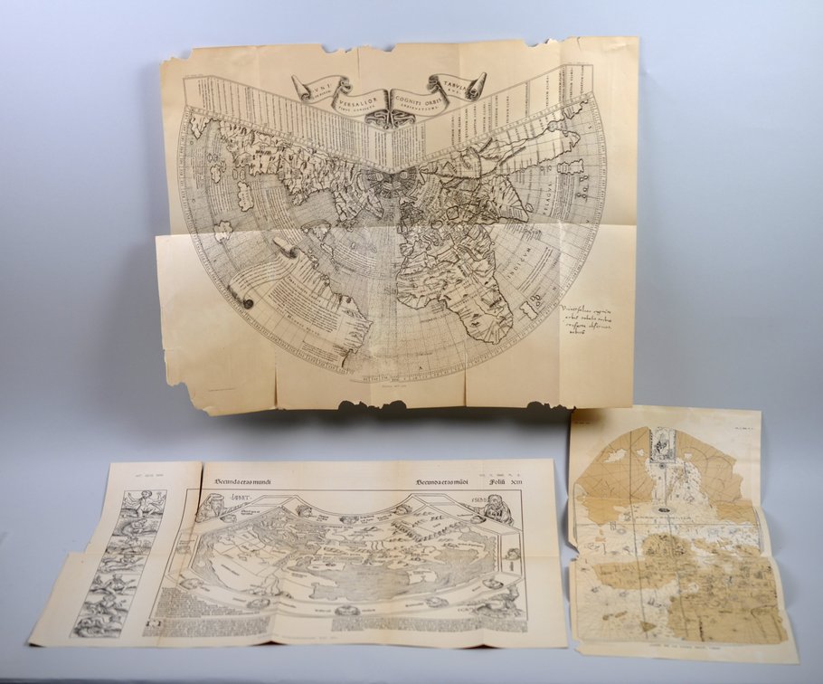
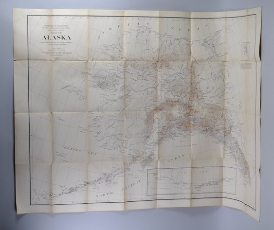
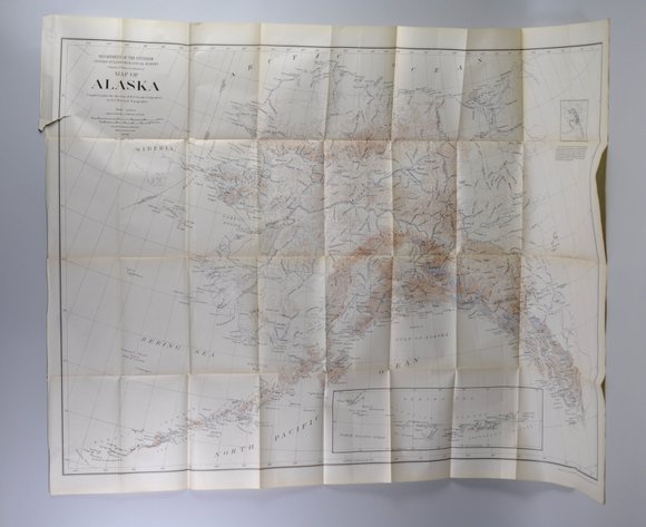
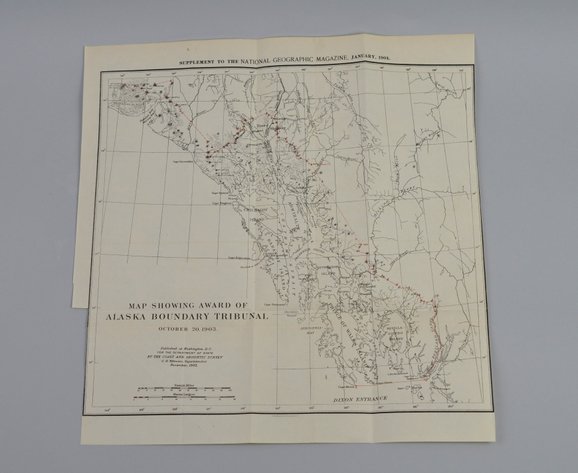
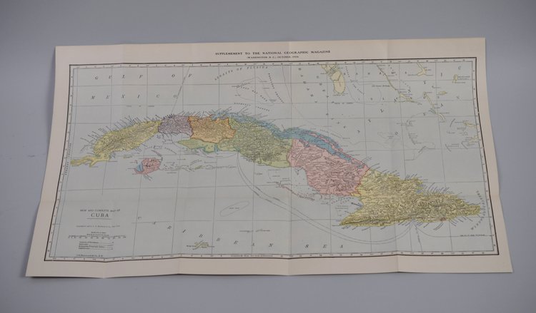
3 National Geographics Maps Dated 1893
Similar in Maps
Item Description
Year Issued: 1893
Dimensions: Various
Condition: Chronicon- In 2 Sperate Pices-Cleanly Cut and Light Discoloration at the Fold and Cut Seam. Juan De La Cosa: 2 Corners Missing with 2x1" Missing from Center Edge Ruysch: Rips Along Fold Lines about 3 1/2", 2 Corners Missing, Center Edges have Chunks Approx. 2-3x1/2"" Long Missing
Additional Information: The group consists of three National Geographic Maps Volume V believe to be dating to 1893 and issued in connection with early National Geographic Society publications. The maps include the Chronicon Nurembergense Map, Juan De La Cosa Map, and Ruysch Map, each reflecting historical cartographic subjects reproduced during the Society’s formative years of scholarly geographic publishing. The maps exhibit period printing and cartographic presentation characteristic of late nineteenth-century National Geographic supplements and educational materials. The Ruysch and Juan De La Cosa maps bear the notation “Norris Peters Co. Photolitho.”